🧭 Garden systemZones7 stepsFree working copy
Map the warm and cold spots in your own yard
Quick answer
Look up your zone and frost dates, then sketch the yard with north at the top. On one clear day, shade in the shadows at 9 a.m., noon and 3 p.m., the way WSU Extension does it, and take soil temperatures about 2 inches down in each spot. Circle the low ground where frost stays white, since Purdue says a frost pocket can run as much as 15°F colder than the high ground. Number the spots on the sheet and plant by them.
Source: WSU Skagit Extension, microclimates, checked October 11, 2026; Purdue Extension HO-203-W, cold weather, checked October 11, 2026.

Decide first
Make the map, skip it, or ask for help?
Do it yourself
Map it yourself
Do it if your yard slopes, you're about to plant a shrub or perennial that's borderline for your zone, or one bed keeps getting frost the others miss. It takes one clear day for the sketch and sun map, plus a few frosty mornings.
Source: WSU Skagit Extension, microclimates, checked October 11, 2026.
Skip it
Skip it: zone and 1 in 10 date only
On a small, flat yard where you mostly grow annuals, you can skip the map. Set tender plants out by the 1 in 10 last frost date instead of the typical one, which gives you a margin without any mapping.
Source: NOAA 1991-2020 U.S. Climate Normals, annual/seasonal, checked October 7, 2026.
Get help
Ask your county Master Gardeners
If you can't tell where the cold air goes, or you're placing a tree or hedge, ask your county extension office. The mapping method on this page comes from WSU's Skagit County Master Gardeners.
Source: WSU Skagit Extension, microclimates, checked October 11, 2026.
- 1/2 milesquares the USDA zone map is drawn inUSDA ARS, how to use the zone maps, October 6, 2026
- 15°Fhow much colder a frost pocket can be (Purdue)Purdue Extension HO-203-W, cold weather, October 11, 2026
- 3 timesa day to map shade: 9 a.m., noon, 3 p.m. (WSU)WSU Skagit Extension, microclimates, October 11, 2026
- 2 indeep for each soil reading, about 3 minutes (WSU)WSU Skagit Extension, microclimates, October 11, 2026
One clear day, then a few frosty mornings
The steps, in order
Look up your zone and frost dates
Zip code 47906, West Lafayette, Indiana, is zone 6a. The NOAA station 0.4 miles away has a typical last spring frost of April 26 and a 1 in 10 date of May 11. Write both on the sheet.
Have ready: Your zip code and the working copy.
Source: PRISM 2023 USDA hardiness zone GIS datasets and zip-code listing, checked October 6, 2026; NOAA 1991-2020 U.S. Climate Normals, annual/seasonal, checked October 7, 2026.
Sketch the yard
Draw the lot from above with north at the top. Add the house, fences, hedges, paving, beds, downspouts and big trees. Mark which way the ground slopes. Rough is fine.
Have ready: Paper or graph paper and a pencil.
Map sun and shade three times
On one clear day, shade in what's in shadow at 9 a.m., noon and 3 p.m. WSU Extension says to repeat it at the start, middle and end of the growing season, because shadows move as the season goes on.
Have ready: Three copies of the sketch and a clear day.
Source: WSU Skagit Extension, microclimates, checked October 11, 2026.
Take soil temperatures
Push a garden thermometer about 2 inches into the soil and read it after about 3 minutes. Do it in each spot at about the same time of day, with the same thermometer.
Have ready: One soil thermometer.
Source: WSU Skagit Extension, microclimates, checked October 11, 2026.
Find where the cold air settles
On a clear, still, frosty morning, walk the yard before the sun reaches the ground. Circle where frost is thickest. That's usually the lowest ground, and Purdue says the air in a frost pocket can be as much as 15°F colder than the high ground.
Have ready: A frosty morning and a few garden stakes to mark the frost line.
Source: Purdue Extension HO-203-W, cold weather, checked October 11, 2026.
Check fences and hedges across the slope
Cold air backs up behind anything solid that crosses its path downhill. Purdue describes openings cut at the low points of a wooded area that let cold air drain away. A gap at the bottom of a fence or hedge works the same way.
Have ready: The sketch with the slope arrow on it.
Source: Purdue Extension HO-203-W, cold weather, checked October 11, 2026.
Number the spots and plant by them
Give each spot a line on the sheet. UGA Extension suggests early-flowering plants by a south-facing wall. In the frost pocket, set tender plants out by the 1 in 10 date: May 11 in West Lafayette, not April 26.
Have ready: The working copy and your plant list.
Source: UGA Extension Forsyth, microclimates, checked October 11, 2026; NOAA 1991-2020 U.S. Climate Normals, annual/seasonal, checked October 7, 2026.
Free, one page, black and white
Print the working copy
Yard microclimate sheet: the steps above as a checklist with a date box for each, on one US Letter page.
If a step gets skipped
What goes wrong
⚠️
Mapping sun and shade only once
Shadows in June don't fall where they fall in October. WSU Extension maps at the start, middle and end of the season for that reason.
Source: WSU Skagit Extension, microclimates, checked October 11, 2026.
⚠️
Trusting the station for the low corner
Purdue notes that station readings, often taken at airports, usually miss the cold in frost pockets. The low corner can freeze on a night the station stays above freezing.
Source: Purdue Extension HO-203-W, cold weather, checked October 11, 2026.
⚠️
Comparing two thermometers that disagree
If the low corner and the high ground get different thermometers, part of the difference may be the thermometers. Purdue says to check them for accuracy first. Set them side by side for a while and compare.
Source: Purdue Extension HO-203-W, cold weather, checked October 11, 2026.
⚠️
Counting a warm wall as a whole extra zone
The USDA says wind, soil, moisture, snow cover and winter sun all change how plants survive. None of the extension pages we use puts a number on a warm wall, so test it with one plant before you plan a bed around it.
Source: USDA ARS, how to use the zone maps, checked October 6, 2026.
⚠️
Planting a new dam
A dense hedge along the bottom of a slope can hold cold air on its uphill side, just like a solid fence. Leave a gap at the lowest point.
When the steps change
Variants
🪴
A yard on a slope
The bottom of the slope is where to look first for the frost pocket. If a fence or hedge crosses it, open a gap at the lowest point. Purdue describes openings at the low points as drains for cold air.
Source: Purdue Extension HO-203-W, cold weather, checked October 11, 2026.
🏙️
A small city lot or patio
On a small lot, start with the walls and paving. Brick, concrete and asphalt soak up heat by day and give it back at night, so beds and pots beside them run a little warmer. Map the walls, and watch the still, shady corners on the north side.
Source: UGA Extension Forsyth, microclimates, checked October 11, 2026; WSU Skagit Extension, microclimates, checked October 11, 2026.
❄️
A garden higher or lower than the station
WSU Extension's rule of thumb is that spring comes one day later for every 100 feet of elevation. A garden 200 feet above its NOAA station could run about 2 days behind it in spring.
Source: WSU Skagit Extension, microclimates, checked October 11, 2026.
☀️
A yard near a big lake
Large water evens out temperatures. Purdue says Lake Michigan pushes the first fall freeze in northwest Indiana back about two or three weeks near the shore. Check whether your NOAA station sits as close to the water as you do.
Source: Purdue Extension HO-203-W, cold weather, checked October 11, 2026.
What people learn the second year
Tips and tricks
- Map shade on a clear day. Clouds hide shadows. A sun map drawn on an overcast day makes the whole yard look evenly lit.
- Stake the frost line. On two or three frosty mornings, push a stake in at the edge of the white frost. The stakes outline the cold ground better than memory does.
- Read thermometers close together. Temperatures climb fast once the sun is up. Read the low corner and the high ground within a minute or two of each other.
- Keep the sheet with your frost dates. Clip the map to your frost date card. Each spring you'll see which beds can go early and which wait for the 1 in 10 date. (NOAA 1991-2020 U.S. Climate Normals, annual/seasonal)
- Redo it after big changes. A new fence, shed, patio or a lost tree changes the shade, the wind and where cold air goes. Map that part of the yard again.
The one we checked the steps against
Primary source
Understanding the Difference Between USDA Zones and Microclimates, Washington State University Extension, Skagit County Master Gardeners, published August 3, 2023. Checked October 11, 2026.
Washington State University Extension's Skagit County Master Gardeners give the whole mapping method in one place: a sun and shade map at 9 a.m., noon and 3 p.m. at the start, middle and end of the season, a garden thermometer about 2 inches deep for about 3 minutes in several spots, and notes on drainage, wind and protected corners. Purdue Extension's HO-203-W supplies the frost pocket figure (up to 15°F colder) and the point that station readings miss it.
The arithmetic and the background reading
Tools and guides in this system
- 🌡️ LookupUSDA zone finder by zip codeFind your 2023 USDA plant hardiness zone by zip code, see its winter low band in °F and °C, and check a plant tag's zone range against it.Open the tool
- ❄️ LookupFrost date lookup by zip codeFind the typical last spring and first fall frost for your zip code from NOAA 1991 to 2020 station normals, with the 1 in 10 year dates and a printable card.Open the tool
 📘 Know-howMicroclimates in one yard: find the warm and cold spotsOne zone covers your whole street. Find the warm walls, cold corners and shady strips in your own yard, and log what each spot does.Read the guide
 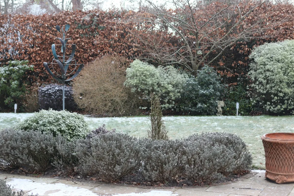 🧰 Problem solverOne corner of the yard frosts first: find and fix a frost pocketFrost in the low corner but not by the house? Cold air drains downhill on still nights. How to find a frost pocket, open it up and plant around it.Read the guide
Common questions
Questions
How do I map the microclimates in my yard?
Sketch the yard with north at the top, shade in the shadows at 9 a.m., noon and 3 p.m., take soil temperatures about 2 inches deep in several spots, and circle where frost and puddles last longest. That's the WSU Extension method this page follows.
Source: WSU Skagit Extension, microclimates, checked October 11, 2026.
Can part of my yard be colder than my frost date says?
Yes. Frost dates come from a NOAA station, and Purdue notes that station readings usually miss frost pockets, where the air can be as much as 15°F colder than the high ground.
Source: Purdue Extension HO-203-W, cold weather, checked October 11, 2026.
When should I plant in a frost pocket?
Use the 1 in 10 last frost date for tender plants there, not the typical one. In West Lafayette, Indiana, that's May 11 instead of April 26.
Source: NOAA 1991-2020 U.S. Climate Normals, annual/seasonal, checked October 7, 2026.
How do I measure soil temperature in different spots?
WSU Extension says to push a garden thermometer about 2 inches into the soil for about 3 minutes, and do it in several areas. Use one thermometer and the same time of day so the readings compare.
Source: WSU Skagit Extension, microclimates, checked October 11, 2026.
Do I need a new map every year?
Not unless the yard changes. A new fence, shed, patio or a lost tree changes the shade and where cold air flows, so redo that part of the map.
The next job on the shelf
More garden systems
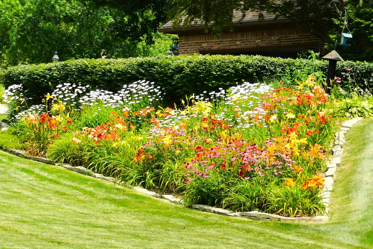 7 steps🧭 SystemRefresh border mulch: measure each bed, then buy only the gapMeasure the old layer in every bed before you order. One example yard needs 23 bags of 2 cu ft, not 45. The steps, the 3 inch limit and a free mulch record.Open the system
 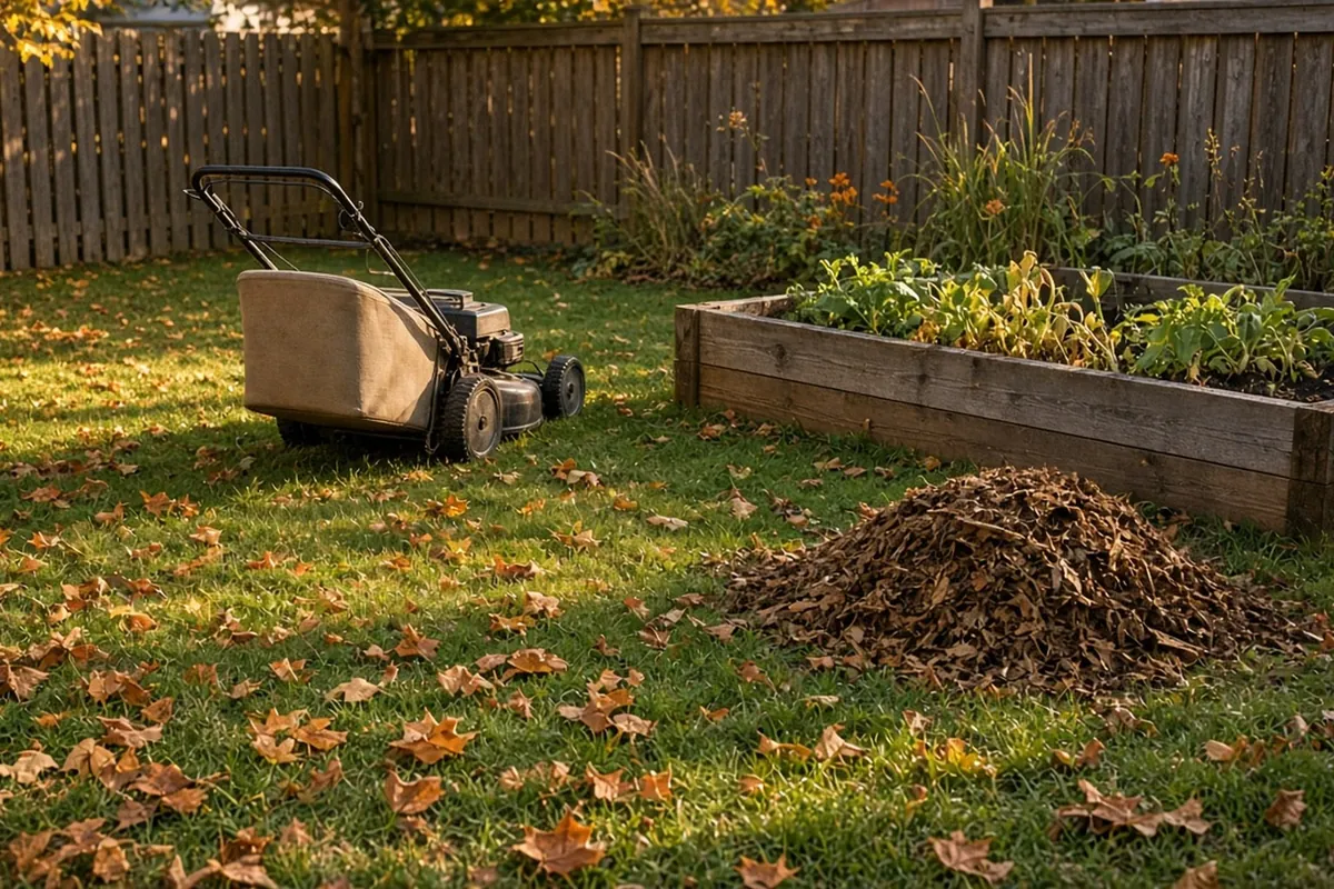 7 steps🧭 SystemTurn fall leaves into bed cover and mulch, and keep a tally of the bagsWhat to do with fall leaves: mow a thin layer into the lawn, shred the rest and spread 2 to 3 inches on beds. Free leaf haul tally to print.Open the system
 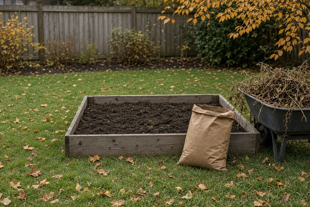 6 steps🧭 SystemFall raised bed reset: clear, top up and cover for winterPut a raised bed to bed in fall: clear finished plants, measure how far the soil sank, top it up with compost and cover it with leaves. Free checklist.Open the system
Sources
- Understanding the Difference Between USDA Zones and Microclimates, Washington State University Extension, Skagit County Master Gardeners, published August 3, 2023. Checked October 11, 2026.
- Effects of Cold Weather on Horticultural Plants in Indiana (HO-203-W), Purdue University Extension, published July 7, 2023. Checked October 11, 2026.
- U.S. Climate Normals (1991-2020), annual/seasonal normals by station, NOAA National Centers for Environmental Information (NCEI). Checked October 7, 2026.
- 2023 USDA Plant Hardiness Zone GIS Datasets, PRISM Group, Oregon State University (for USDA). Checked October 6, 2026.
- Making the Most of Microclimates, University of Georgia Cooperative Extension, Forsyth County, published February 1, 2021. Checked October 11, 2026.
- How to Use the Maps, USDA Plant Hardiness Zone Map, USDA Agricultural Research Service. Checked October 6, 2026.
Planning guide, not a guarantee. See every source on the site on the sources page. Spotted an error? Tell us.